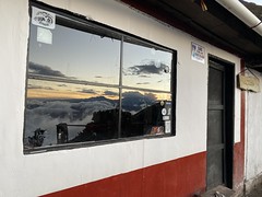
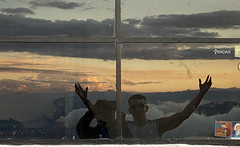
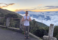
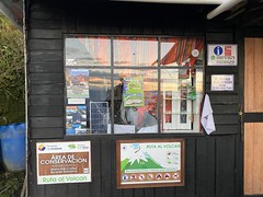
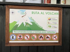
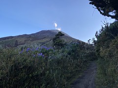
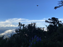
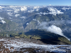
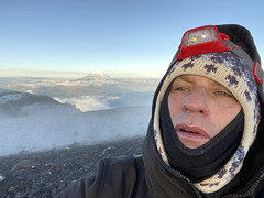
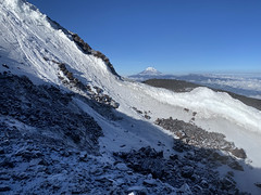
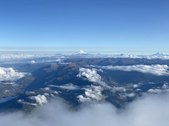
El Refugio del Volcán at 3,830 meters (12,565 feet) above s…
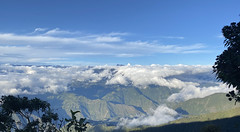
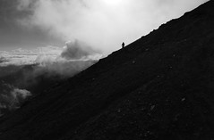
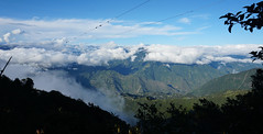
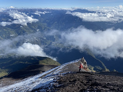
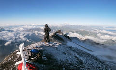
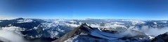
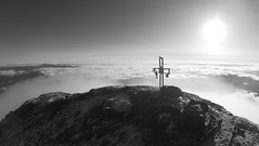
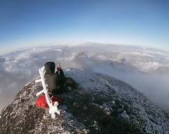
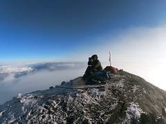
El Refugio del Volcán at 3,830 meters (12,565 feet) above sea level, Climbing the Summit of the Active and Mighty Stratovolcano 'Tungurahua' ('Throat of Fire' volcano) at 5,023 meters (16,479 feet) above sea level, Baños, the Central Highlands, Ecuador.
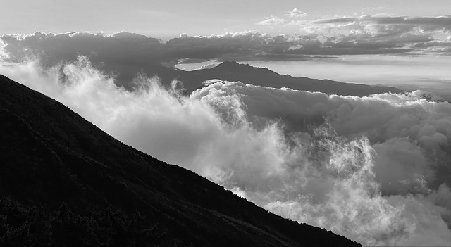
El Refugio del Volcán at 3,830 meters (12,565 feet) above sea level, Climbing the Summit of the Active and Mighty Stratovolcano 'Tungurahua' ('Throat of Fire' volcano) at 5,023 meters (16,479 feet) above sea level, Baños, the Central Highlands, Ecuador.
Baños
Baños de Agua Santa ou Baños, ville d'Équateur, située dans la province du Tungurahua, au pied du volcan du même nom, le long du fleuve Pastaza, à d'altitude. Elle compte habitants. Elle fut fondée par les dominicains et son église est consacrée à la Virgen del Agua Santa (« Vierge de l'eau sainte »). C'est la ville la plus touristique de l'Équateur après Quito et Otavalo. Elle est réputée pour la qualité de ses eaux thermales et des paysages qui l'entourent (nombreuses cascades). On y pratiqu…
Sites d'intérêt près à El Refugio del Volcán at 3,830 meters (12,565 fee…


Photos fournies par Flickr sous le copyright de leurs propriétaires